I'm a geospatial data scientist with an MSc in Geo-Information Science and Earth Observation, completed jointly between the University of Tartu and UCLouvain, and a background in geomatics engineering from Nepal. My work spans remote sensing, spatial analysis, and machine learning, from satellite time series to vector and raster GIS data, with a focus on turning messy, multi-source spatial data into something models and decisions can actually rely on.
My research interest lies in understanding environmental systems and environmental change, particularly through approaches where observations and process-based machine learning models inform each other. Apart from this, I enjoy GIS programming / development and building tools that make spatial data usable.
- Multi-sensor, multitemporal remote sensing for environmental monitoring
- Physics-informed machine learning and geospatial foundation models
- GIS and spatial analysis for environmental and land-use applications
 Python
 Typescript
 JavaScript
 PyTorch
 Tensorflow
 Computer Vision
 Vision Transformer
 Remote Sensing (optical / Radar)
 Orthophotos
 UAV imagery
 ArcGIS pro
 QGIS
 PostGIS
 Geoserver
 HTML
 CSS
 Tailwindcss
 React
 Next
 NodeJs
 GeoDjango
 git
 Docker
 PostgreSQL
 Redis
 AWS
 HPC
 CI/CD
 ETL pipeline
 Linux





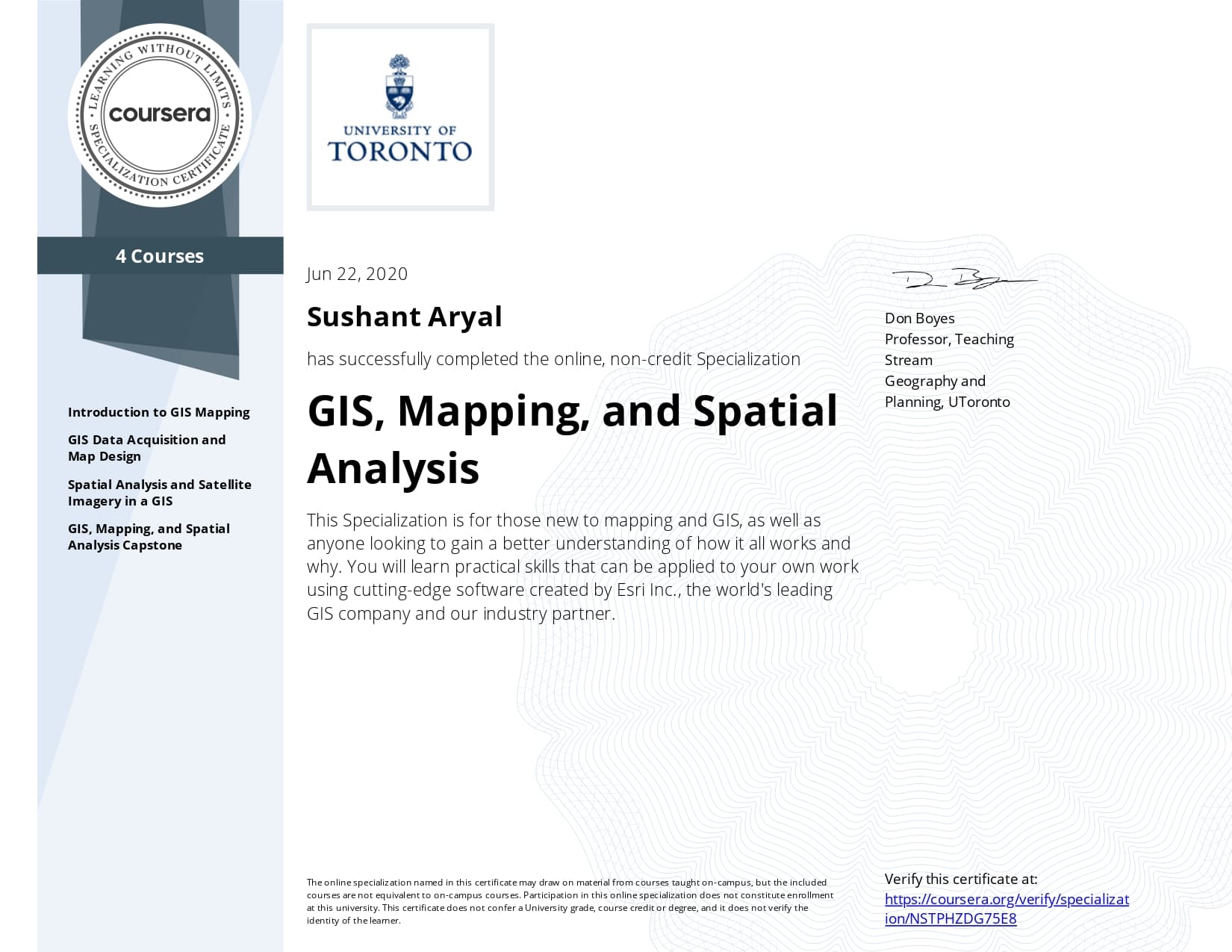
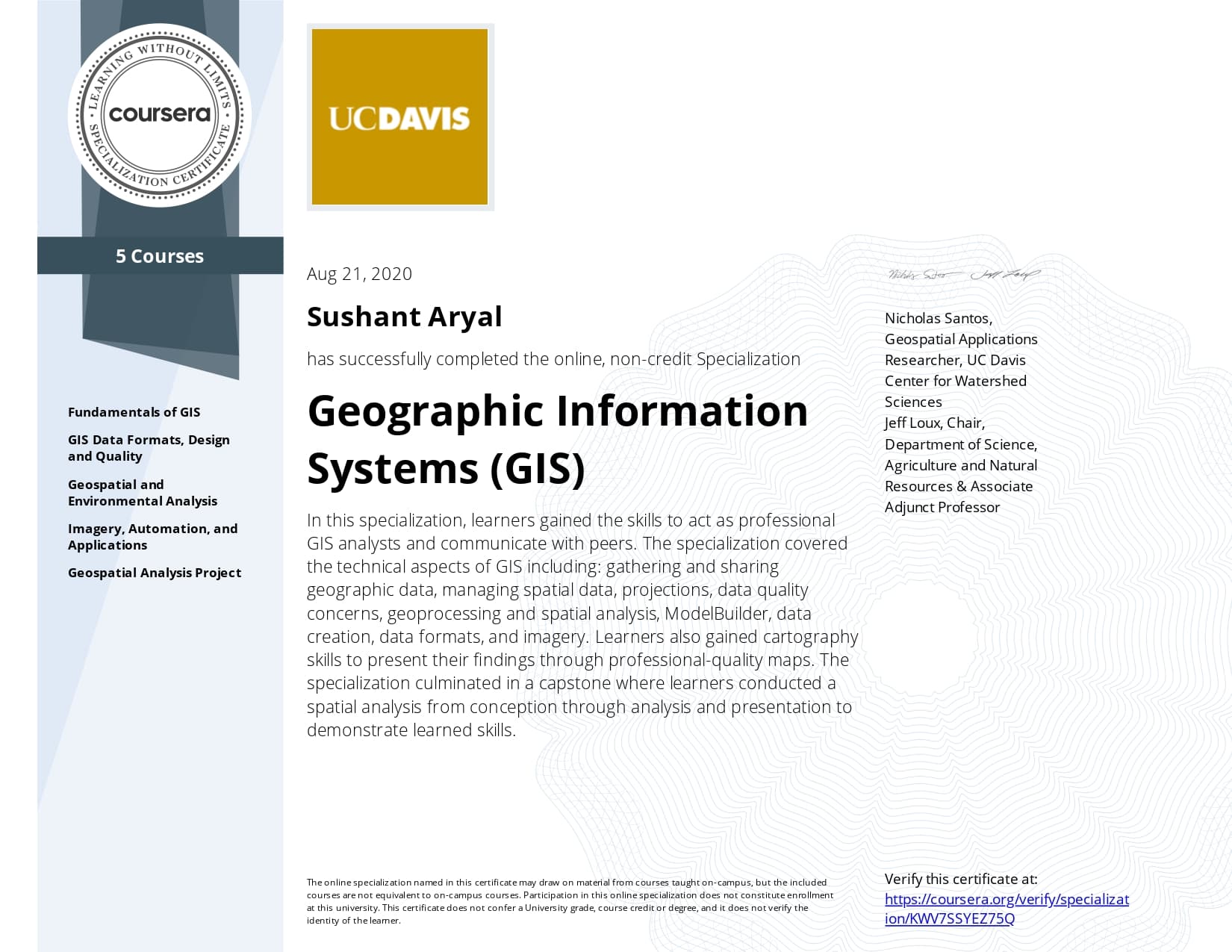
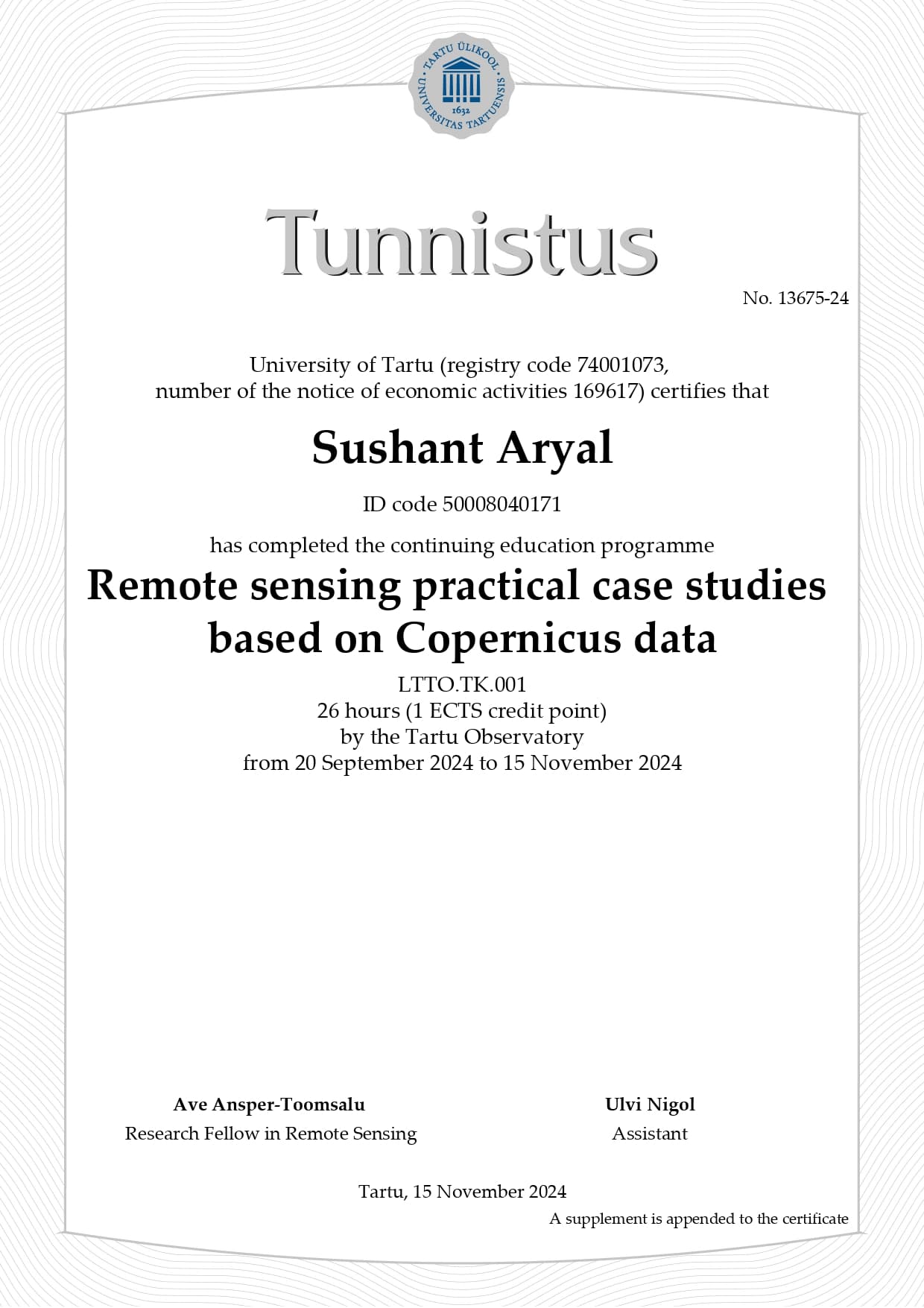
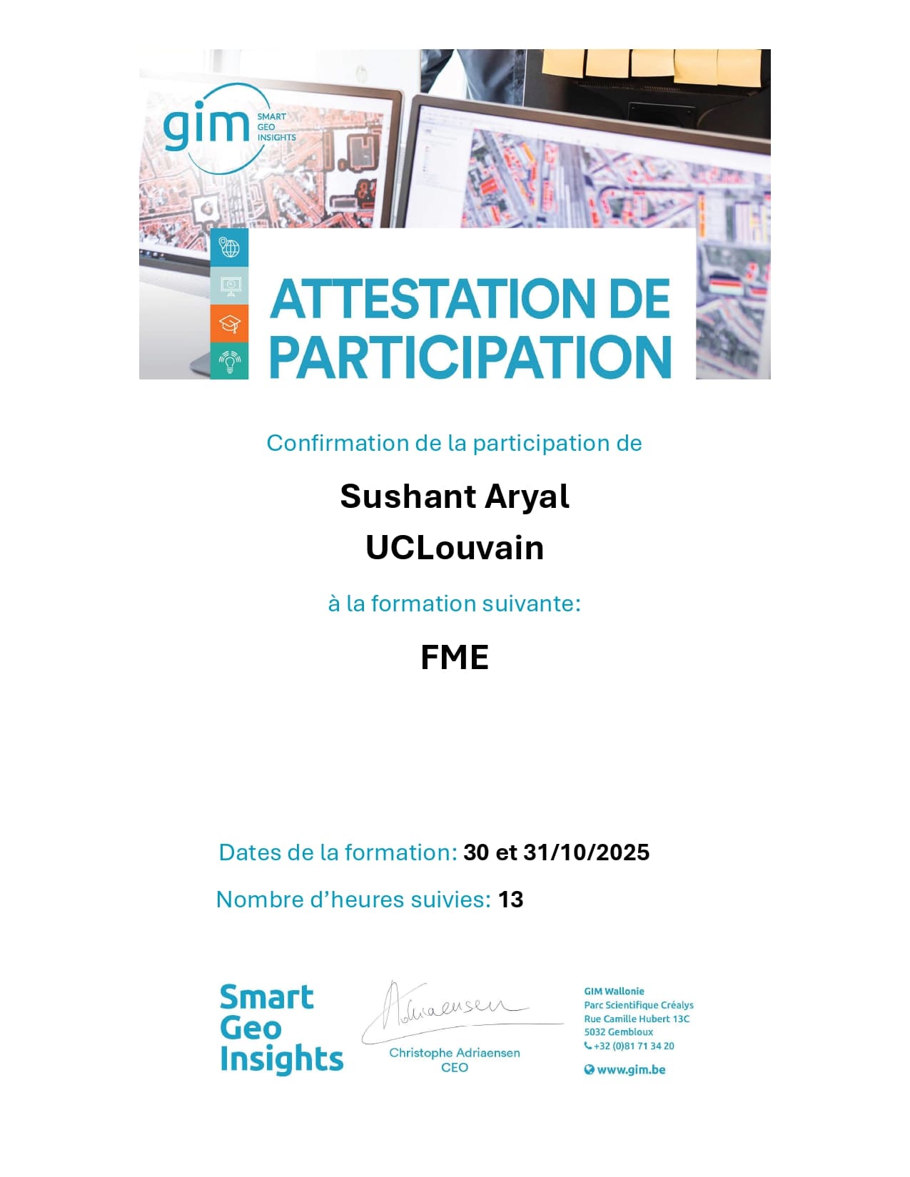
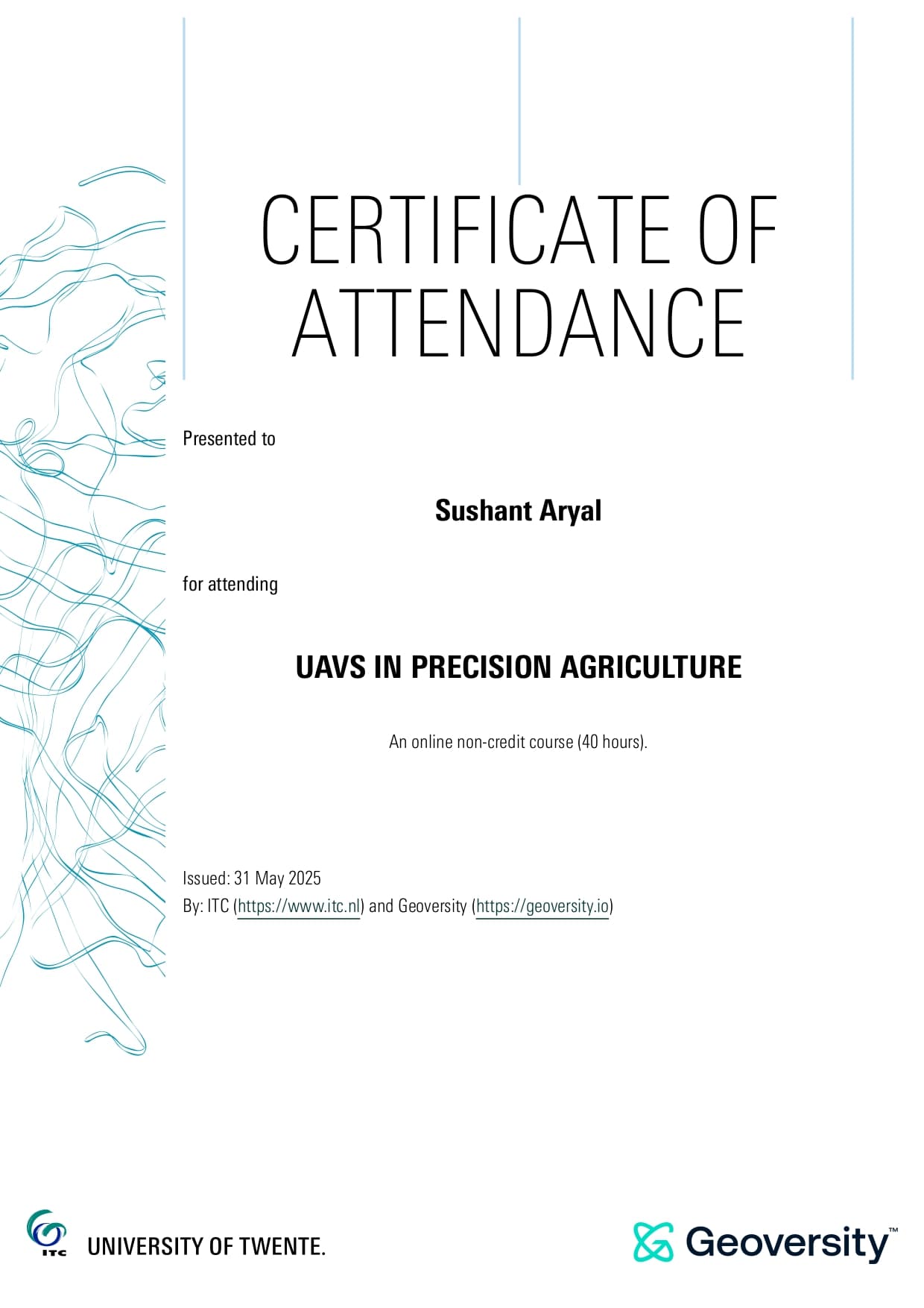
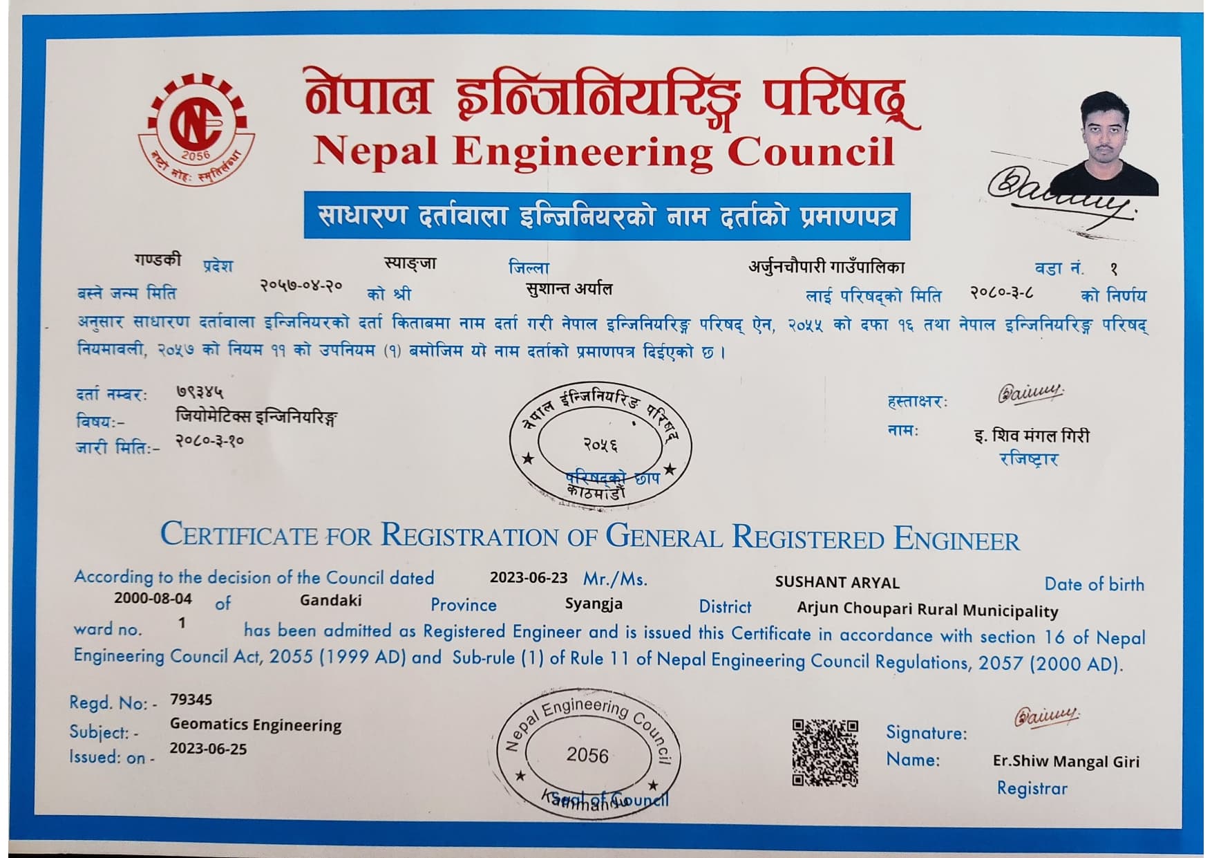
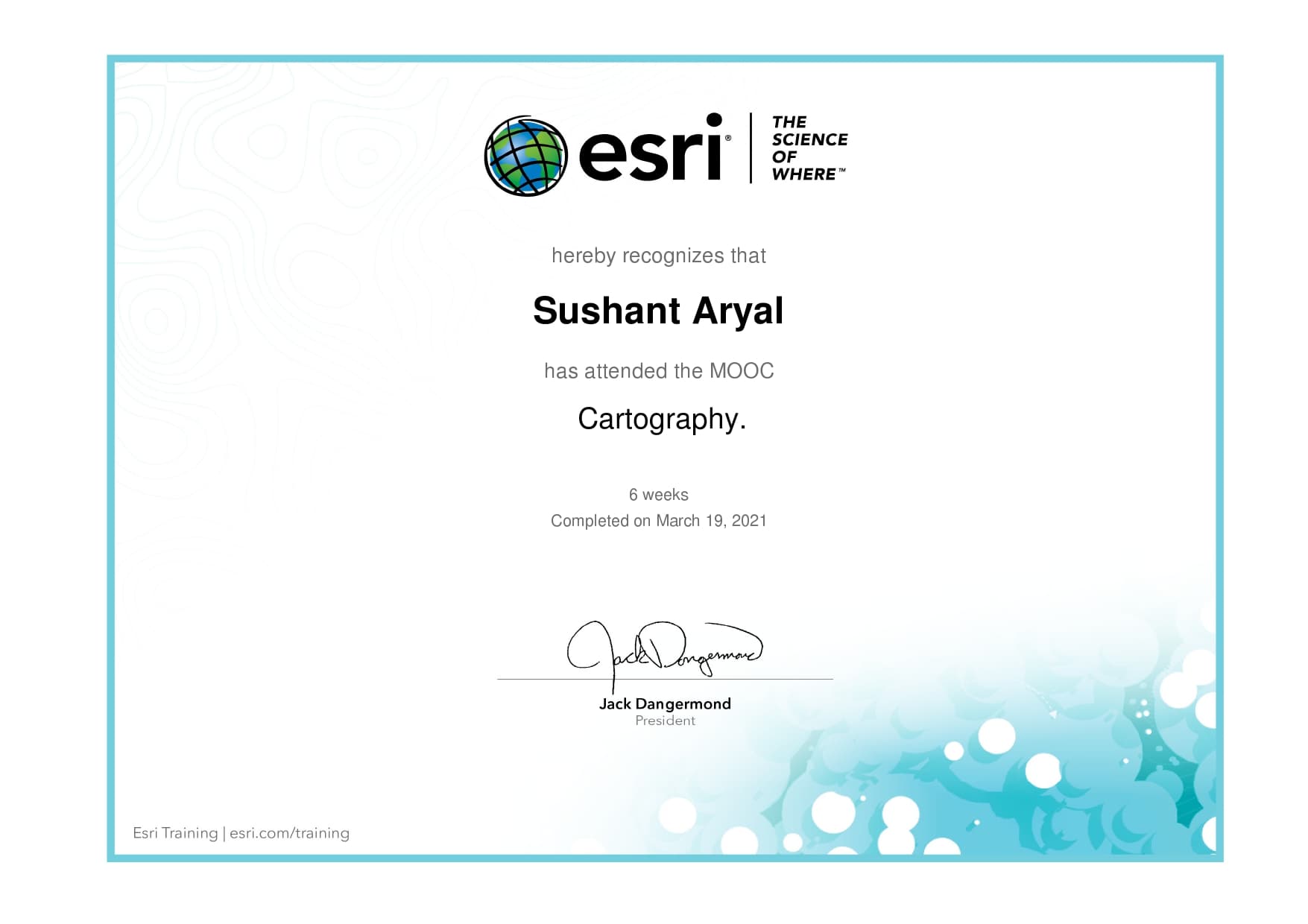
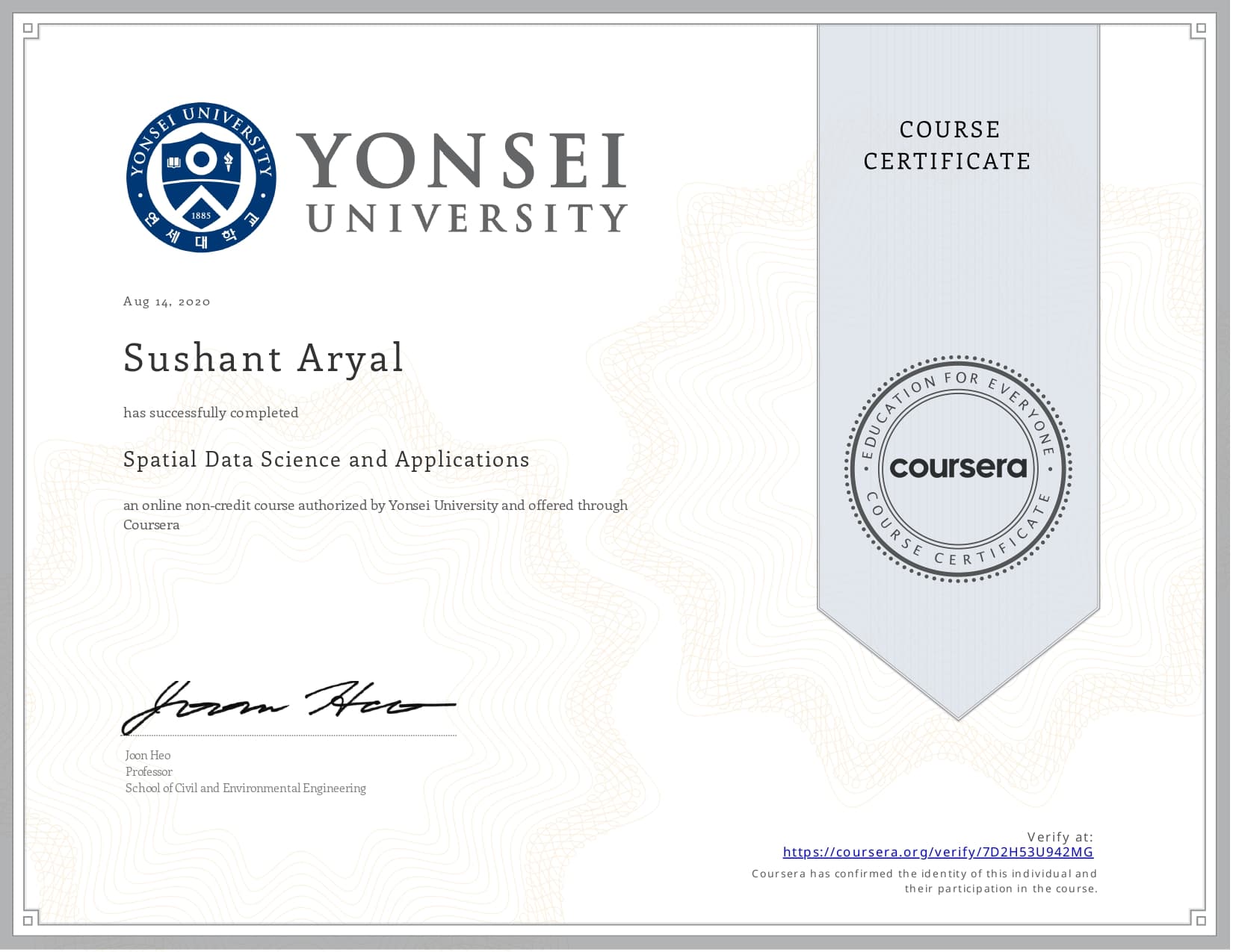
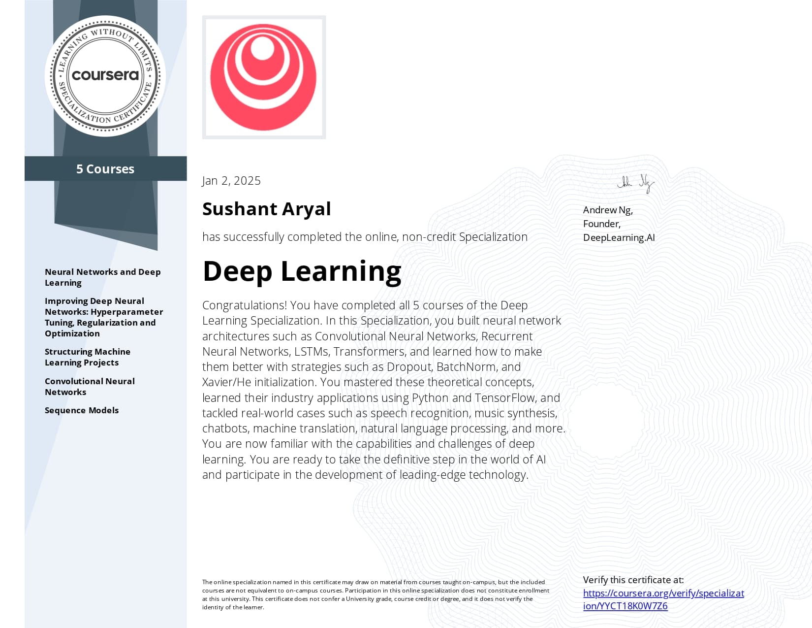
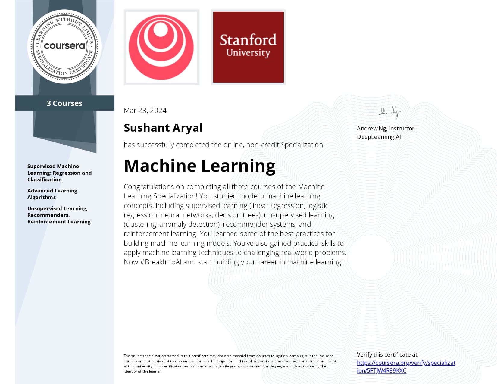
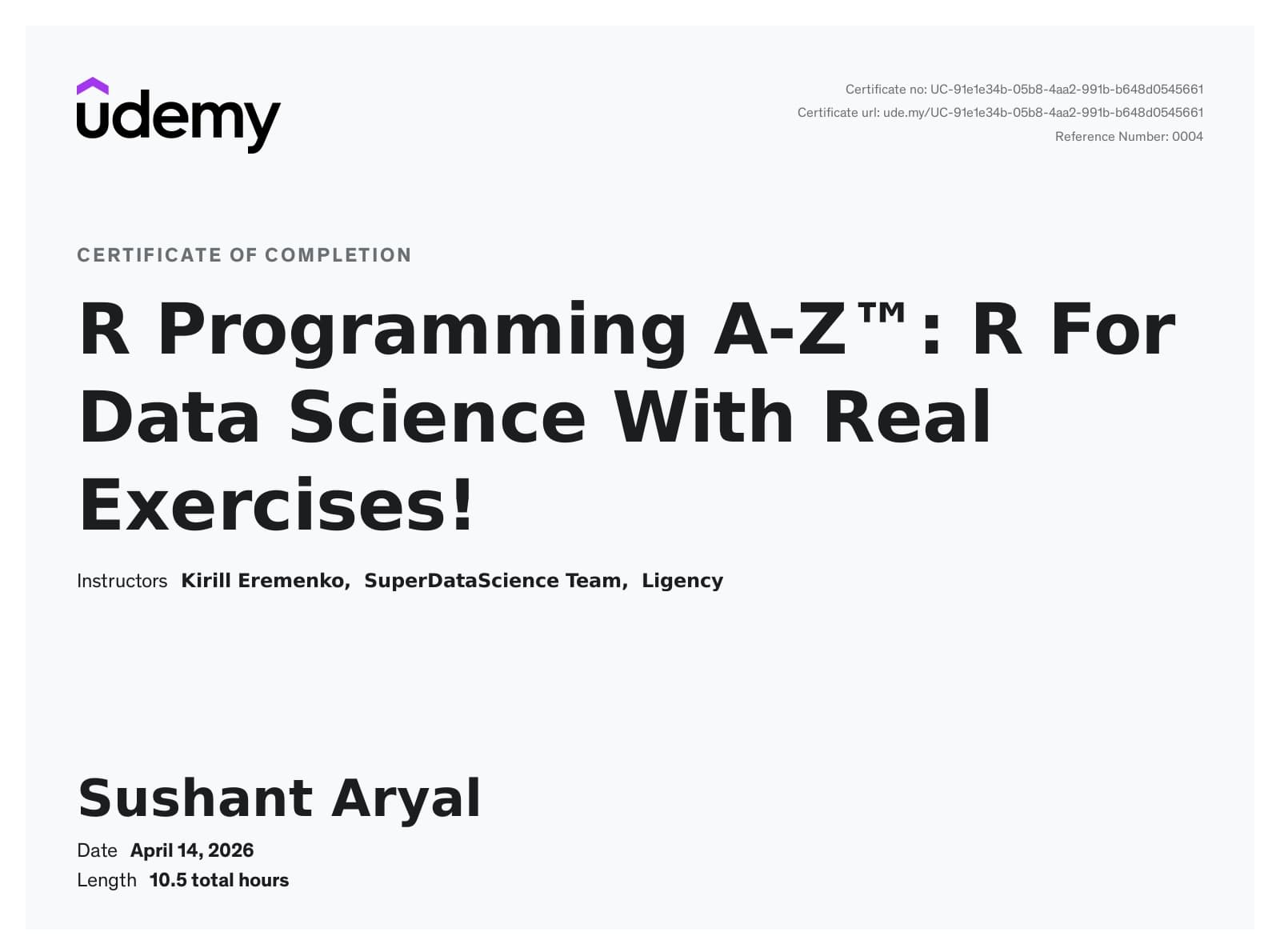
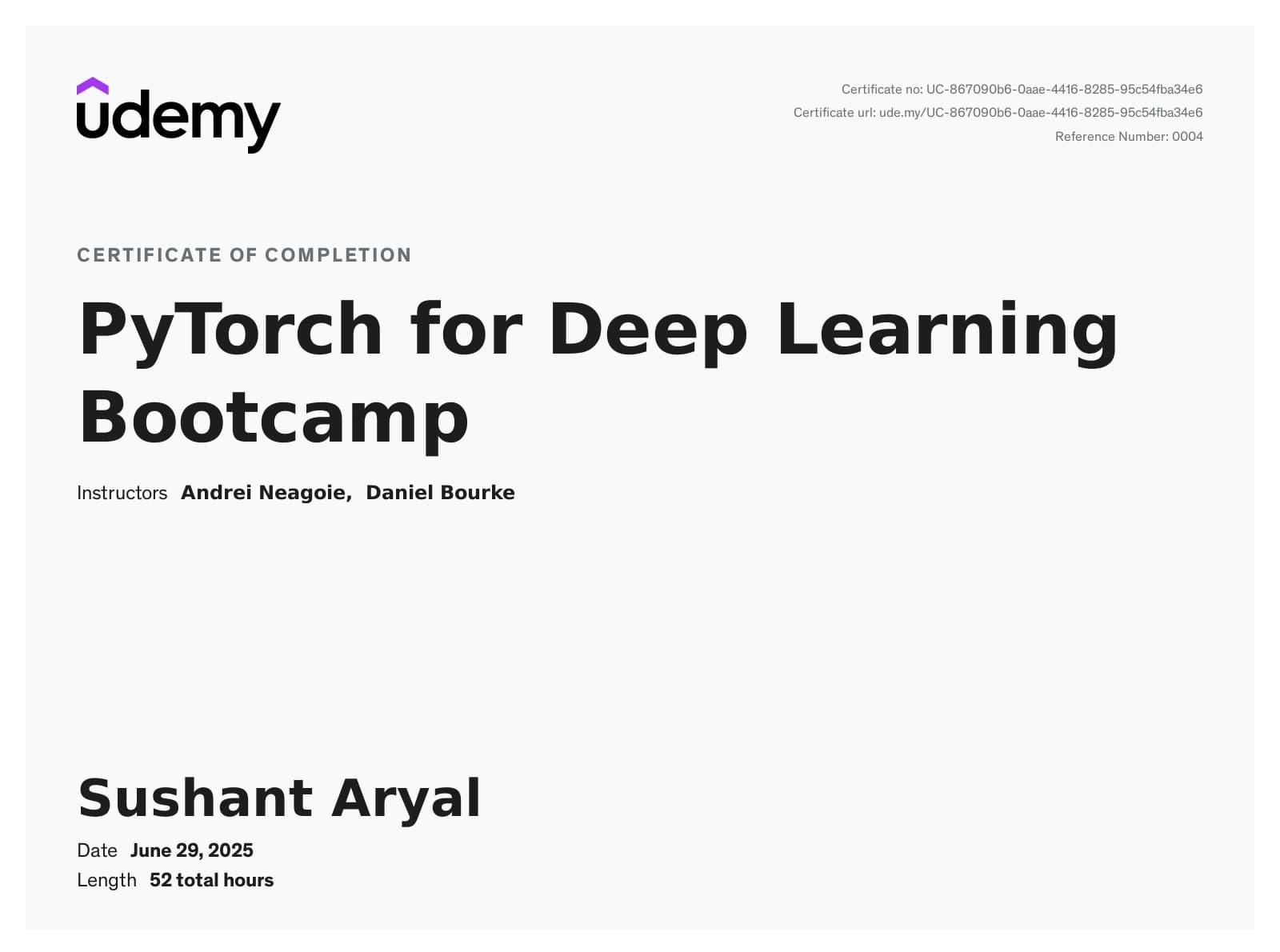
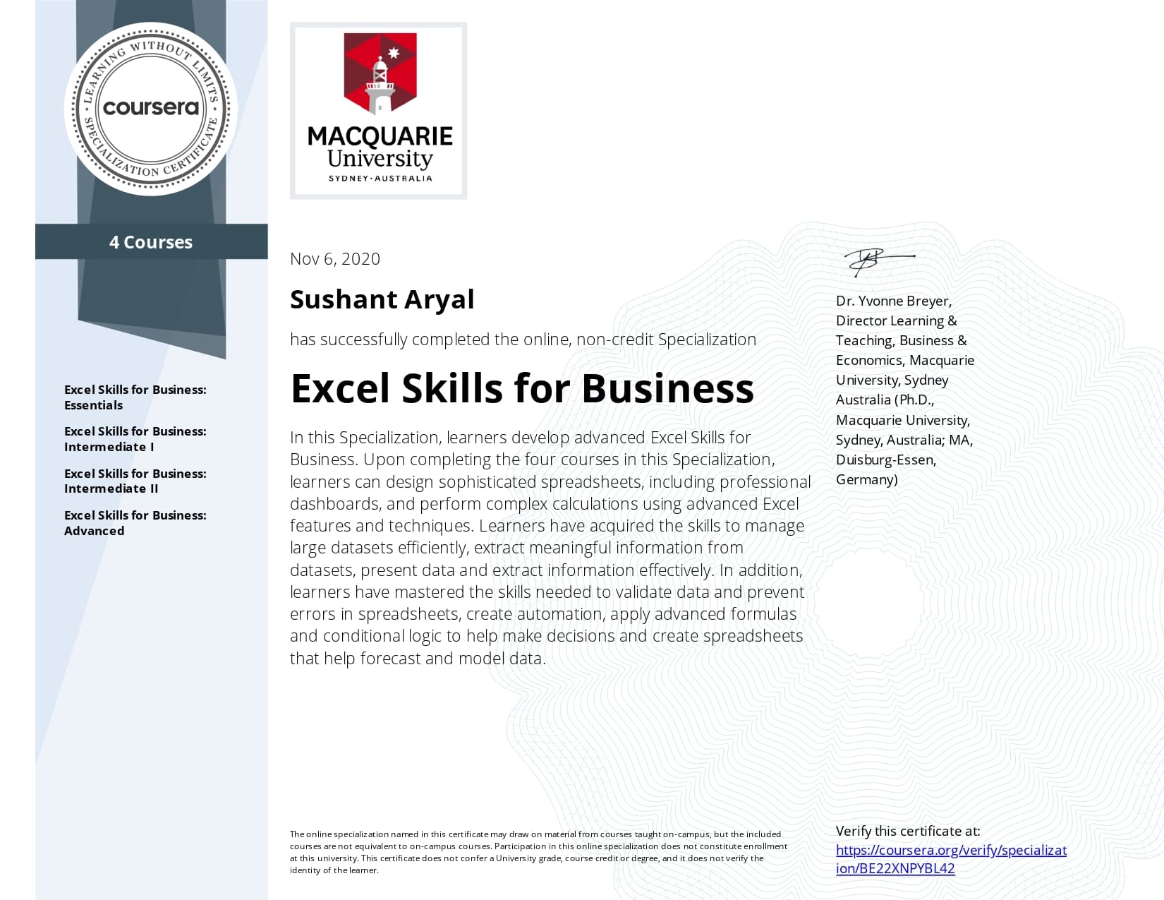
Short online courses and specializations completed alongside my formal degrees, across application development, data science, and geospatial tools.
- Applied the field-boundary delineation model developed in my thesis to generate 2026 agricultural field boundary maps for the Wallonia region
- Processed and fused Sentinel-2 time series data for the Walloon agricultural landscape to support regional-scale delineation
- Built a U-Net segmentation pipeline with a ResNet backbone for solar panel detection across aerial imagery, including spatial accuracy assessment of model predictions against ground reference data
- Researched building height estimation from oblique imagery, using heatmap-based window detection as a structural cue for floor-count inference
- Designed reproducible Python geospatial pipelines (PyTorch, GDAL, Rasterio, NumPy) for large-scale raster processing across national aerial imagery datasets
- Built server-side geospatial pipelines for a satellite-based agricultural monitoring platform, integrating satellite data, vegetation indices, and field-level analytics
- Managed and processed vector and raster geospatial data using PostGIS, GDAL, and GeoPandas, including database design and spatial indexing
- Developed GIS data services and APIs with geometry validation, spatial filtering, and export functionality for large-scale geospatial datasets
- Integrated multi-source spatial datasets into a unified mapping platform and built an interactive web map
- Designed WebGIS dashboards with React, OpenLayers and MapLibre GL to communicate spatial patterns to non-technical stakeholders
- Adapted PTAViT3D, a 3D Vision Transformer leveraging joint spatio-temporal attention, for multi-task agricultural field boundary delineation
- Extended the framework with Sentinel-1 interferometric coherence alongside backscatter, exploiting phenology-sensitive SAR features for crop boundary discrimination
- Compared single-sensor (S2 cloud-free, S2 partially cloudy, S1 backscatter + coherence) and fused S1/S2 cross-attention configurations against reference datasets
Full scholarship covering tuition, travel, and living costs for the double MSc in Geoinformation Science and Earth Observation for Environmental Modelling and Management, studied at the University of Tartu and UCLouvain.

Merit-based scholarship awarded for the B.E. in Geomatics Engineering at Kathmandu University.